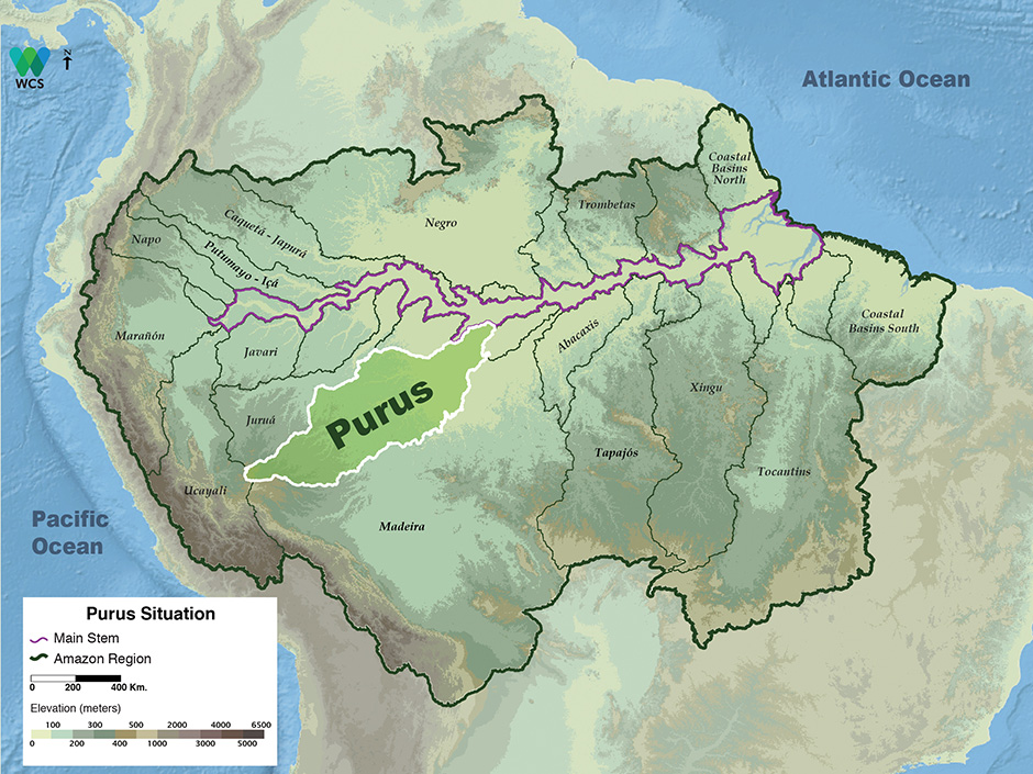
The Purus Basin covers approximately 368,000 km2 and its outstanding hydrological feature is the highly meandering Purus River with huge floodplains studded with thousands of lakes. The middle and lower reaches also have large blackwater sub-basins.
Although the Purus River lies within Brazil and Peru, more than 90 percent of its basin is within the Brazilian states of Amazonas and Acre. Within the Purus Basin there are approximately 40,000 km2 of wetlands and its large tributaries arise at elevations generally below 400 m in a hilly area east of the Ucayali Basin. The sediments are sufficient in volume to render the Purus River turbid. Annual precipitation in the Purus Basin typically ranges from approximately 1,800–2,200 mm. Annual river-level fluctuations in the middle sections range from 12–15 m and is among the highest known in the Amazon Basin. The difference between the highest and lowest water levels ever recorded in the middle courses of the two rivers ranges from 16–24.5 m.
The Purus usually floods from December through mid-May, although floods in the lower course last until August because of the backwater effect of the Solimões (Amazon River). The Purus River is constantly shifting course across its broad floodplains, resulting in thousands of meanders and oxbow lakes. The combination of numerous floodplain lakes, extensive flooded forests and huge floating-meadow communities make it second in fish productivity only to the Amazon River.
Protected Areas
The Purus Basin has relatively large protected areas, especially in its headwaters in Peru (Alto Purus National Park) and middle parts in Amazonas State in Brazil. The Instituto Piagaçu is actively consolidating conservation and resource management in the middle and lower Purus Basin. The greatest challenge to Purus Basin conservation is deforestation in the state of Acre, which lies between the protected headwaters in Peru and the middle and lower course of the Purus River.
Uses & Impacts
The political boundaries of fast-growing state Acre present daunting challenges to river-basin management in the Purus Basin. The economy in Acre is largely centered on cattle ranching and the rate of deforestation in Acre has been among the highest in the Amazon Basin. The areas that have been the most extensively deforested are near the city of Rio Branco along the Acre River and near Sena Madureira along the Iaco River. The only major roads outside of Acre in the Purus Basin are the Rio Branco-Boca do Acre highway and the recently completed Interoceanic Highway that connects Brazil with coastal Peru via Cusco and Arequipa. Impacts on wetlands include extensive floodplain logging, local flooded forest removal for agriculture and commercial fishing, especially downriver of the Acre-Amazonas border in Brazil.

-

Purus 1
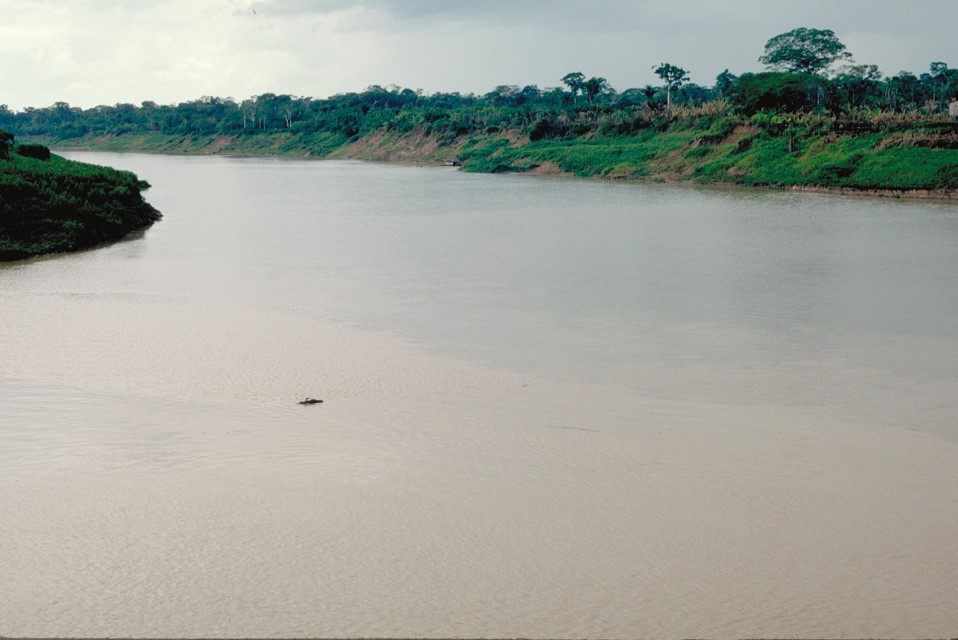
The Purus River in Acre, Brazil. Although not reaching the Andes the Purus nevertheless has a relatively high sediment load brought from low hills in Peru. Department – Country: Acre – Brazil Main Basin – Sub Basin: Purus – Purus Photographer: Michael Goulding
MAIN RIVER BASINS
Caquetá-Japurá
Juruá
Madeira
Marañón
Napo
Negro
Purus
Putumayo-Içá
Tapajós
Tocantins
Trombetas
Ucayali
Xingu
